Refinement of Polynesian Wayfinding Techniques
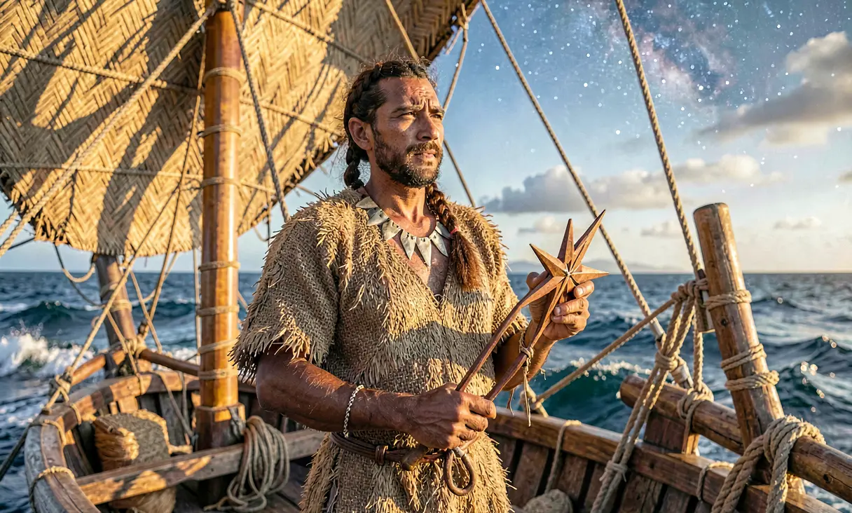
Polynesian navigators mastered open-ocean travel using star compasses and natural signs, colonizing the vast Pacific without maps or compasses between 1000 BCE and 1500 CE.
Context of the Pacific Void
By approximately 1000 BCE, the Lapita people had already pushed the boundaries of human exploration, settling islands from Papua New Guinea to Fiji and Tonga. However, the vast expanses of the Central Pacific remained a formidable barrier. Unlike the Mediterranean or Atlantic, where coastlines were frequently visible, the Pacific offered an ocean so immense that islands appeared as mere specks on the horizon, often invisible until within twenty miles. Early navigation relied largely on coastal hopping, but the colonization of remote archipelagos like the Society Islands required a paradigm shift: the ability to traverse thousands of miles of open blue water without visual contact with land for weeks at a time.
The Birth of Systematic Wayfinding
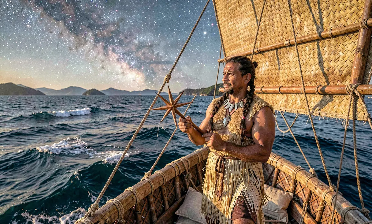
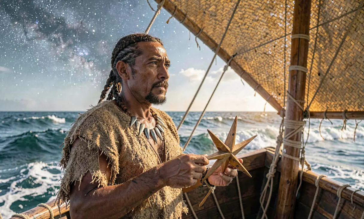
Between 1000 BCE and 500 CE, Polynesian navigators developed the pwo system, a sophisticated oral science that transformed the ocean from a barrier into a highway. This was not merely intuition but a rigorous discipline combining astronomy, hydrology, and meteorology. Navigators constructed mental star compasses, dividing the horizon into thirty-two sectors based on the rising and setting points of specific stars. They memorized the heliacal risings of key constellations like Orion (Tautoru) and the Pleiades (Matariki), using them as fixed reference points to maintain course in the absence of magnetic compasses or written charts.
Reading the Invisible Ocean
Beyond celestial mechanics, master navigators mastered the subtle language of the sea itself. They learned to detect wave refraction patterns caused by distant islands, feeling changes in swell direction through the hull of their double-hulled canoes (wa'a kaulua) even when the horizon was empty. Cloud formations offered critical clues; stationary cumulus clouds often hovered over high islands due to heat rising from land, while greenish tints on the underside of clouds could indicate shallow lagoons or reefs below. The behavior of seabirds, such as the white tern (manu o Ku) which flies out at dawn and returns at dusk, provided a living radius indicator for locating land within a 120-mile range.
The Society Islands as a Crucible
By 800 CE to 1200 CE, the Society Islands (Tahiti and Raiatea) emerged as the epicenter of this navigational renaissance. The island of Taputapuatea in Raiatea became the spiritual and intellectual hub where high priests and master navigators convened to refine these techniques. It was here that the 'star path' method was standardized, allowing voyagers to sail from one star's rising point to another, effectively hopping across the sky. This period saw the expansion of the Eastern Polynesian triangle, with expeditions launching from the Society Islands to settle Hawaii, New Zealand (Aotearoa), and Rapa Nui, covering a distance of over 5,000 miles in some voyages.
The Master Navigators and Oral Transmission
The knowledge was preserved not in books but in the minds of the pwo, navigators who underwent decades of rigorous apprenticeship. They memorized hundreds of star names, their altitudes, and their seasonal variations, as well as the complex interplay of wind and current. This oral tradition required absolute precision; a single error in calculation could mean death by starvation or dehydration. The system was so effective that it allowed for the colonization of the most isolated islands on Earth, including Easter Island (Rapa Nui), which lies 2,000 miles from the nearest inhabited landmass, and New Zealand, reached around 1250 CE via a deliberate voyage southward against prevailing winds.
Legacy of Non-Technological Mastery
The refinement of Polynesian wayfinding stands as one of history's most remarkable scientific achievements, demonstrating that complex navigation is possible without modern instrumentation. For centuries following European contact in the 18th century, this knowledge nearly vanished due to colonization and the introduction of magnetic compasses. However, the late 20th-century revival, spearheaded by figures like Mau Piailug from Satawal and the construction of the Hōkūleʻa canoe, has revalidated these ancient methods. Today, the pwo tradition is recognized as a vital cultural heritage, proving that human observation and memory can conquer the vastest oceans on Earth.
This navigation system allowed for the successful settlement of the entire Polynesian triangle, a feat unmatched in pre-modern maritime history.
Where it happened
Pacific Ocean (Society Islands) — see it on the interactive map →
Explore related history
 ScienceDomestication of the Turkey in Mesoamericac. 1000 BCE · Central MexicoAncient Mesoamericans successfully domesticate the wild turkey for meat and ritual feathers.
 ScienceDevelopment of Linear A Script by Minoansc. 1800 BCE · Knossos, Crete (Greece)The Minoans develop Linear A, a still undeciphered writing system for administration.
 ScienceSankore Madrasah Becomes a Center of Learning in Timbuktuc. 1450 CE · Timbuktu, MaliThe Sankore Madrasah emerges as a premier university for Islamic scholarship in West Africa.
 CivilizationRise of the Chimú Kingdom at Chan Chanc. 1000 CE · Chan Chan, PeruThe Chimú establish the largest adobe city in the Americas at Chan Chan.
 ExplorationLapita Settlement in Western Samoac. 1000 BCE · Western SamoaLapita voyagers reach the Samoan archipelago, marking the first entry into Remote Oceania.
 ReligionCodification of the Hawaiian Kapu Systemc. 1000 CE · Hawaii (Big Island), USAThe Hawaiian kapu system is formalized, establishing a rigid social hierarchy and religious code.
Discussion
Loading…