
Use of Astrolabes for Celestial Navigation by Arab Sailors
By refining the astrolabe for open-ocean use around 1000 CE, Arab sailors mastered Indian Ocean navigation, forging a trade network that connected continents and spread Islam across the maritime world
The Golden Age of Islamic Navigation
By the turn of the first millennium CE, the Indian Ocean had transformed into a bustling maritime highway connecting the civilizations of East Africa, the Arabian Peninsula, India, and China. Unlike the Mediterranean, where coastal hopping was common, the vast expanse of the Indian Ocean demanded open-sea navigation capabilities that relied heavily on astronomical precision. Arab merchants, building upon Greek and Persian foundations, refined the astrolabe into a portable, durable instrument capable of withstanding the harsh marine environment. This technological leap occurred against a backdrop of expanding Islamic trade networks, where the demand for spices, textiles, and precious stones drove exploration beyond the sight of land.
The Astrolabe: A Celestial Compass
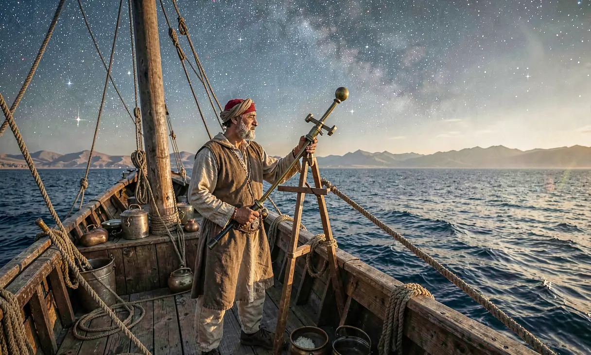
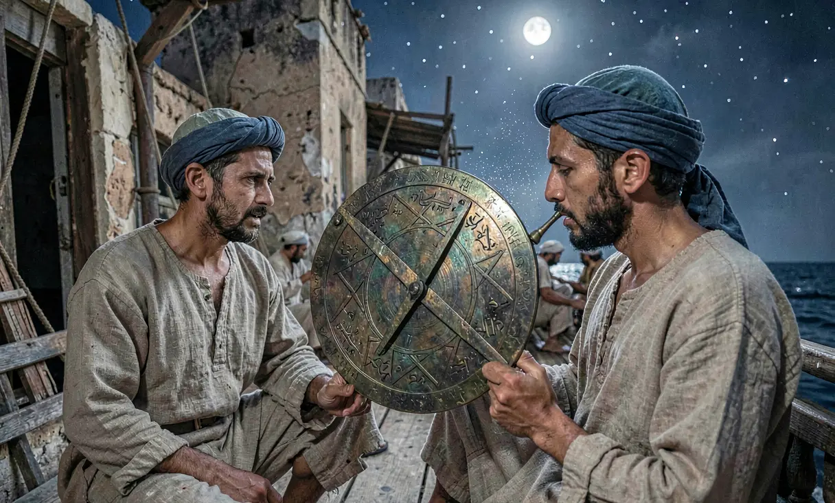
The mariner's astrolabe, distinct from its terrestrial and astronomical cousins used by scholars in Baghdad or Cairo, was a simplified yet robust brass ring with a rotating alidade. By 1000 CE, sailors departing from ports like Jeddah utilized this device to measure the altitude of celestial bodies above the horizon. While Polaris served as a reliable marker for latitude in the Northern Hemisphere, Arab navigators demonstrated remarkable ingenuity by identifying and utilizing the Southern Cross and other southern constellations when sailing south of the equator into the Indian Ocean's deeper waters. This capability allowed them to determine their north-south position with an accuracy previously unattainable in open-ocean travel.
Masters of the Monsoon
Technology alone did not guarantee success; it was the synthesis of astrolabe data with deep empirical knowledge of the monsoon winds that defined Arab maritime dominance. Navigators understood that the southwest monsoon from April to September carried ships from Arabia to India, while the northeast monsoon returned them home. The astrolabe provided the critical latitude fixes needed to time these voyages perfectly, ensuring vessels caught the favorable winds at the optimal points of their journey. This combination of celestial mechanics and meteorological intuition allowed for predictable, scheduled crossings that reduced travel time and minimized the risks associated with being lost at sea.
The Jeddah Connection
Jeddah served as a pivotal nexus in this network, acting as the primary maritime gateway to Mecca for pilgrims and goods alike. By 1000 CE, the port was teeming with dhow captains who integrated astrolabe readings into their daily routine before casting off from the Red Sea. Historical accounts suggest that these navigators maintained detailed star charts, known as *rahmanis*, which recorded the rising and setting points of stars relative to specific coastal landmarks. The precision required to navigate the narrow straits of Bab el-Mandeb and then traverse the open ocean to the Malabar Coast necessitated a level of skill that turned Jeddah into a center of navigational instruction and instrument crafting.
Expansion of Trade and Faith
The reliability afforded by astrolabe navigation facilitated the establishment of permanent trading posts along the Swahili Coast, in Sri Lanka, and as far east as Guangzhou. This infrastructure supported a massive exchange of goods: African ivory and gold flowed north to Arabia, while Indian cotton and Chinese porcelain moved west. Crucially, these maritime routes became conduits for cultural and religious transmission. As Muslim merchants settled in foreign ports, they established mosques and communities, leading to the peaceful spread of Islam across the Indian Ocean rim. The faith took root not through conquest, but through the trusted networks of trade made possible by precise navigation.
Enduring Legacy
The Arab mastery of celestial navigation laid the groundwork for the Age of Discovery centuries later. When Portuguese explorers like Vasco da Gama arrived in India in 1498, they relied heavily on the navigational charts and knowledge accumulated by their Arab predecessors over five hundred years. The astrolabe remained a standard tool for European mariners until the invention of the sextant, but its conceptual lineage traces directly to the innovations of the Islamic Golden Age. The ability to cross vast oceans with confidence fundamentally altered global connectivity, creating an early form of globalization that linked disparate continents through the rhythm of the stars and the wind.
Astrolabe-based navigation was instrumental in establishing the extensive maritime trade networks of the medieval Islamic world.
Where it happened
Jeddah, Saudi Arabia — see it on the interactive map →
Explore related history
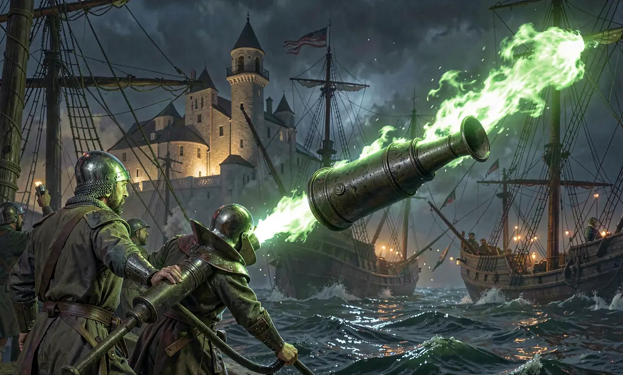 TechnologyInvention of Greek Fire by Kallinikosc. 673 CE · Constantinople, TurkeyByzantine engineers develop a liquid incendiary weapon that burns on water.
 TechnologyDiscovery of Gunpowder by Tang Dynasty Alchemistsc. 850 CE · Chang'an, ChinaTang alchemists accidentally discover gunpowder while seeking an elixir of immortality.
 TechnologyMagnetic Compass Application for Navigation in Song Chinac. 1040 CE · Kaifeng, ChinaSong dynasty engineers create the first magnetic compass for maritime navigation.
 ExplorationLeif Erikson's Voyage to Vinlandc. 1000 CE · L'Anse aux Meadows, Newfoundland, CanadaLeif Erikson establishes a short-lived Norse settlement in North America, five centuries before Columbus.
 PoliticsSrivijaya at its Zenithc. 1000 CE · Palembang, Sumatra (Modern Indonesia)Srivijaya controls the Strait of Malacca and dominates regional trade.
 WarChola Conquest of Sri Lankac. 993 CE · Anuradhapura, Sri LankaRajaraja Chola launches a massive amphibious invasion of Sri Lanka, defeating the Sinhalese kingdom and annexing the island.
Discussion
Loading…