Construction of the Inca Road System (Qhapaq Ñan)
The Qhapaq Ñan united the Andean world through a 25,000-mile engineered network that enabled rapid military movement and administrative control across diverse terrains.
Imperial Ambition and Geographic Challenge
By the mid-15th century, under the reign of Pachacuti Inca Yupanqui, the Kingdom of Cusco transformed into a sprawling empire known as Tawantinsuyu. The expansion required an unprecedented logistical solution to govern territories stretching over 2,500 miles from modern-day Colombia to Chile. Unlike the Romans who relied on flat plains for their infrastructure, the Incas faced the extreme verticality of the Andes, the arid Atacama Desert, and the dense Amazonian foothills. The construction of the Qhapaq Ñan was not merely a public works project but a strategic imperative to bind these disparate ecological zones into a cohesive political entity.
The Engineering of the Qhapaq Ñan
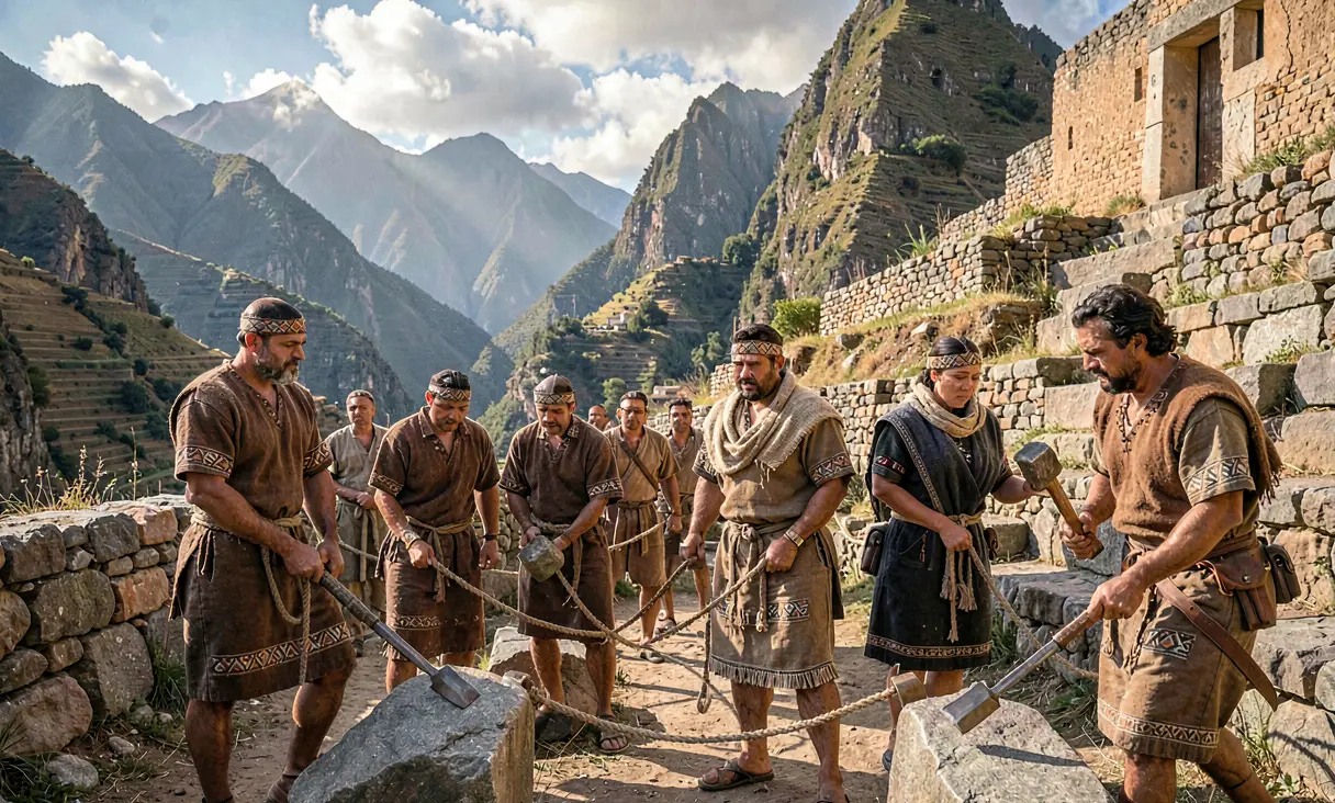
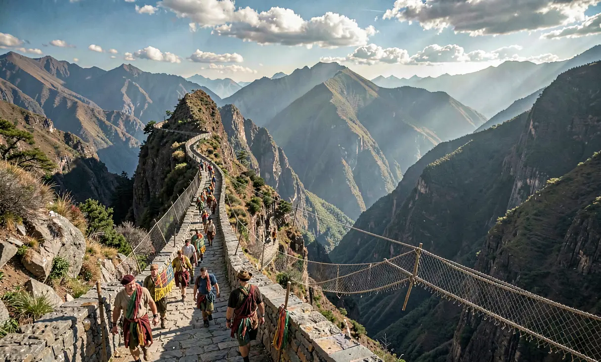
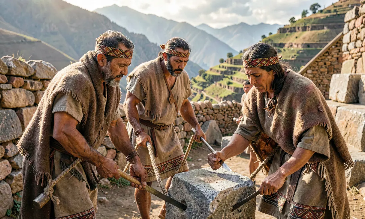
Initiated around 1438 CE, the road system eventually spanned approximately 25,000 miles (40,000 kilometers), making it the most extensive transportation network in pre-Columbian America. The construction utilized sophisticated stone masonry techniques, fitting massive stones without mortar to withstand seismic activity and erosion. In the high Andes, the roads were often paved with flat stones and flanked by drainage channels to manage heavy seasonal rains. In contrast, desert sections featured raised causeways protected by stone walls against sandstorms, while jungle crossings relied on intricate suspension bridges woven from ichu grass, such as those spanning the Apurímac River.
Pachacuti and the State Apparatus
The primary architect of this expansion was Pachacuti Inca Yupanqui, the ninth Sapa Inca who reorganized the state from a regional power into an imperial hegemony. He did not build alone; rather, he mobilized a vast labor force through the mit'a system, a form of rotational tribute where communities provided labor in exchange for state security and redistribution of goods. Specialized engineers, known as amautas, directed these crews, while local governors (curacas) were responsible for maintaining specific segments. This decentralized yet centrally coordinated effort allowed the Incas to adapt road designs to local conditions without compromising the network's structural integrity.
The Mechanics of Integration
The Qhapaq Ñan functioned as the empire's circulatory system, enabling the rapid deployment of armies and the efficient collection of tribute. The road was divided into segments serviced by tambos, or waystations, which provided lodging, food, and storage for state goods and llamas. Most notably, it facilitated the operation of the chaskis, a relay messenger system where runners covered up to 150 miles in a single day. This speed allowed the Sapa Inca in Cusco to receive intelligence from distant frontiers within days, effectively compressing time and space across a fragmented landscape.
Conquest, Consolidation, and Control
As the road network expanded northward into Ecuador and southward into Argentina during the 15th century, it served as the backbone of military conquest. Legions could march swiftly to suppress rebellions or secure new territories, while the presence of the road itself acted as a symbol of Inca authority. The infrastructure also facilitated cultural homogenization; as soldiers, administrators, and merchants traveled the routes, they disseminated Quechua language, Inca religious practices, and administrative laws. This physical connectivity was essential for maintaining the loyalty of conquered ethnic groups who might otherwise have remained isolated.
Legacy and Modern Recognition
Although the Spanish conquest in the 1530s dismantled much of the Inca administrative structure, the physical road system endured for centuries, influencing colonial routes that are now modern highways. Today, sections of the Qhapaq Ñan remain visible, most notably along the path to Machu Picchu and through the high Andes. Recognized as a UNESCO World Heritage Site in 2014, the network stands as a testament to indigenous engineering prowess. It remains one of history's greatest achievements in civil engineering, demonstrating how a pre-industrial civilization successfully integrated a vast, geographically hostile territory into a unified state.
It unified the largest empire in pre-Columbian America through superior infrastructure and logistics.
Where it happened
Cusco, Peru (Expansion Phase) — see it on the interactive map →
Explore related history
 CivilizationConstruction of Great Zimbabwec. 1100 CE · Masvingo, ZimbabweShona people build the largest pre-colonial stone structure in Africa without mortar.
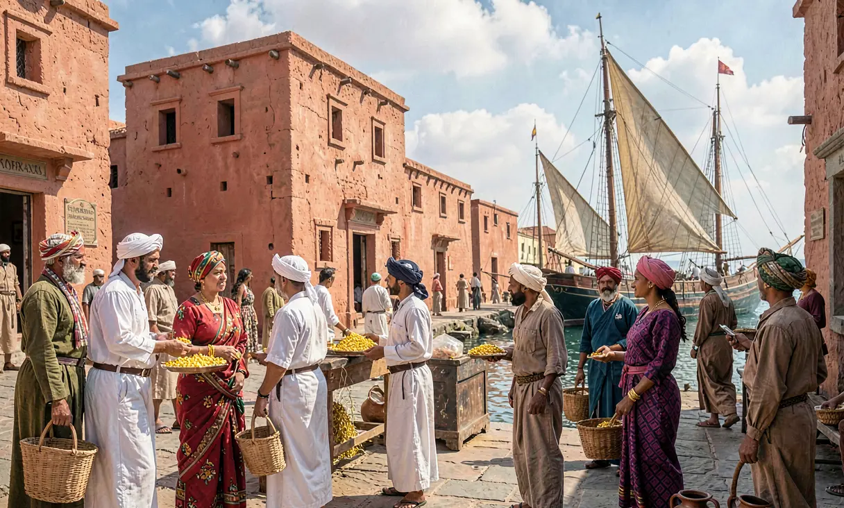 CivilizationRise of Swahili City-States on the East African Coastc. 1200 CE · Kilwa Kisiwani, TanzaniaSwahili city-states flourish as cosmopolitan hubs of Indian Ocean trade, blending African and Islamic cultures.
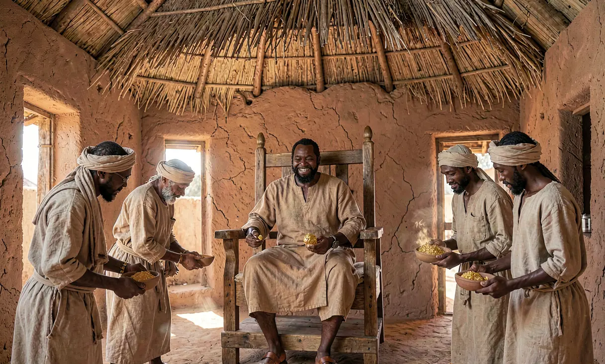 CivilizationMansa Musa's Control of Trans-Saharan Gold Tradec. 1307 CE · Niani, Mali Empire (Guinea/Mali border)Mansa Musa consolidates the Mali Empire's control over West African gold mines and trans-Saharan trade routes.
 WarFall of Angkor Thom to Ayutthaya1431 CE · Angkor Thom, CambodiaAyutthaya forces sack Angkor Thom, leading to the empire's relocation.
 PoliticsLe Loi Crowned Emperor of Dai Viet1428 CE · Hanoi (Thang Long), VietnamLe Loi is crowned Le Thai To, founding the Later Le Dynasty.
 WarMing Occupation of Vietnam Ends1427 CE · Dong Da (Hanoi), VietnamLe Loi defeats the Ming army at Dong Da, ending occupation.
Discussion
Loading…