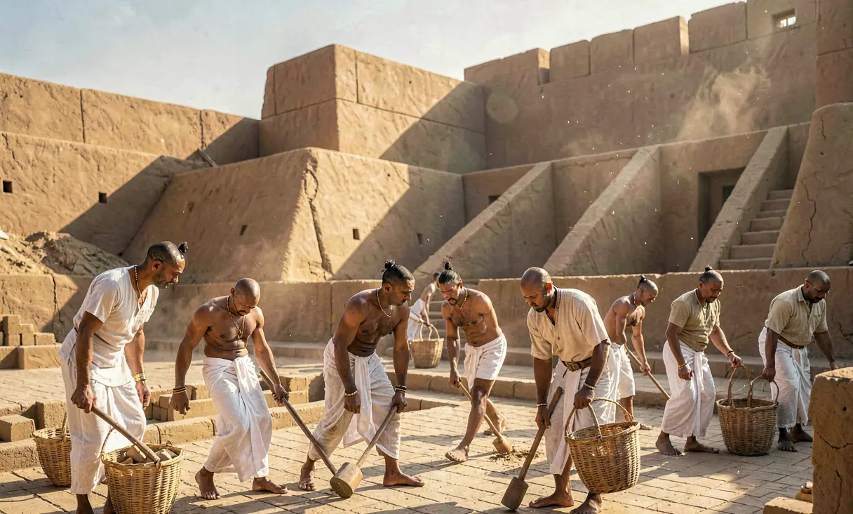
Urban Planning of Mohenjo-daro
Mohenjo-daro's grid-based layout, standardized brick construction, and advanced drainage system define it as a unique Bronze Age metropolis that achieved high urbanism without obvious palaces or templ
The Genesis of the Indus Metropolis
Emerging around 2600 BCE in the fertile floodplains of the Indus River near modern-day Larkana, Pakistan, Mohenjo-daro stands as a testament to one of humanity's earliest and most sophisticated urban experiments. As a primary hub of the Mature Harappan civilization, alongside its sister city Harappa, it housed an estimated population of 40,000 to 50,000 inhabitants at its zenith. Unlike the contemporaneous city-states of Mesopotamia or the temple-centric kingdoms of Egypt, which were defined by monumental palaces and towering ziggurats dedicated to visible deities, Mohenjo-daro was characterized by a profound architectural uniformity and a striking absence of overt royal iconography.
A City Built on Grids and Standardization
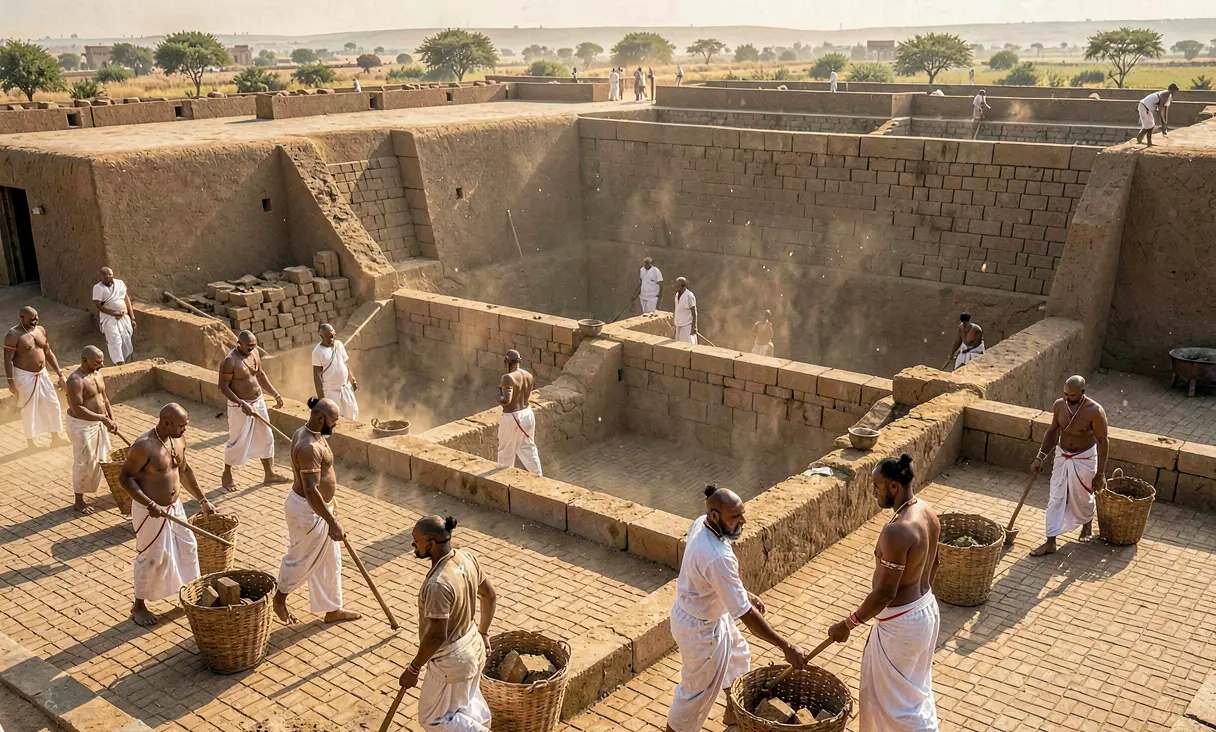
The urban fabric of Mohenjo-daro reveals a master plan executed with mathematical precision. The city was laid out on a strict grid system, with broad north-south streets intersecting east-west avenues to form distinct blocks known as 'islands.' These residential quarters were constructed using standardized, kiln-fired bricks in a consistent ratio of 1:2:4 (thickness to width to length), a uniformity that facilitated rapid construction and structural integrity across the vast region. This standardization extended beyond architecture into the economic sphere; excavations have uncovered thousands of cubical stone weights and measuring rods adhering to a binary and decimal system, suggesting a highly centralized authority capable of regulating trade and commerce over distances exceeding 1,000 kilometers.
The Great Bath and Ritual Infrastructure
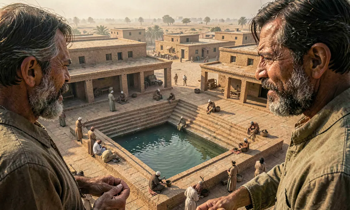
At the heart of the city's elevated citadel lies the Great Bath, a waterproofed tank measuring approximately 12 meters by 7 meters and 2.4 meters deep, lined with bitumen and surrounded by a colonnaded veranda. This structure is widely interpreted as a venue for ritual purification, indicating that water held a central role in the spiritual life of the populace, possibly replacing the need for grand temples. The surrounding complex includes a large pillared hall, often identified as an assembly house or granary, yet the lack of definitive evidence for a king's palace or a high priest's residence remains a defining enigma of Harappan society.
Engineering the Subterranean World
Perhaps the most remarkable achievement of Mohenjo-daro was its advanced hydraulic engineering. Almost every house, regardless of size, possessed a private bathing area and a toilet connected to a city-wide covered drainage system. These drains were constructed with corbelled brick roofs and included inspection holes for maintenance, allowing wastewater to flow away from residential areas into massive street sewers that emptied into the river. This level of public sanitation was unmatched in the ancient world until the Roman Empire, reflecting a societal priority on hygiene and civic order that transcended mere survival.
The Enigma of Governance
The absence of obvious palaces, thrones, or depictions of warrior-kings in Mohenjo-daro's art has led historians to propose unique theories regarding its political structure. While some scholars argue for a merchant oligarchy or a collective council of elders managing the city through consensus rather than coercion, others suggest that power was exercised through religious authority centered on ritual purity rather than military might. The extreme uniformity in housing sizes and the lack of lavish royal tombs imply a society with relatively low social stratification compared to its Bronze Age contemporaries, challenging traditional models of early state formation.
Decline and Enduring Legacy
By approximately 1900 BCE, Mohenjo-daro began to decline, likely due to a combination of tectonic shifts altering the course of the Indus River, climate change causing prolonged droughts, and the fragmentation of trade networks. The city was eventually abandoned, its bricks scavenged by later generations, leaving it buried under alluvial silt for millennia until its rediscovery in 1924. Today, Mohenjo-daro remains a UNESCO World Heritage site, serving as a critical counter-narrative to the assumption that early complex societies required autocratic monarchies to achieve urban sophistication. Its legacy endures as a beacon of early civic planning and social organization.
It stands as one of history's earliest examples of sophisticated municipal engineering and planned urban living.
Where it happened
Mohenjo-daro, Pakistan — see it on the interactive map →
Explore related history
 CivilizationEmergence of Norte Chico Urban Centersc. 3000 BCE · Caral-Supe Valley, PeruThe Norte Chico civilization establishes the oldest known cities in the Americas.
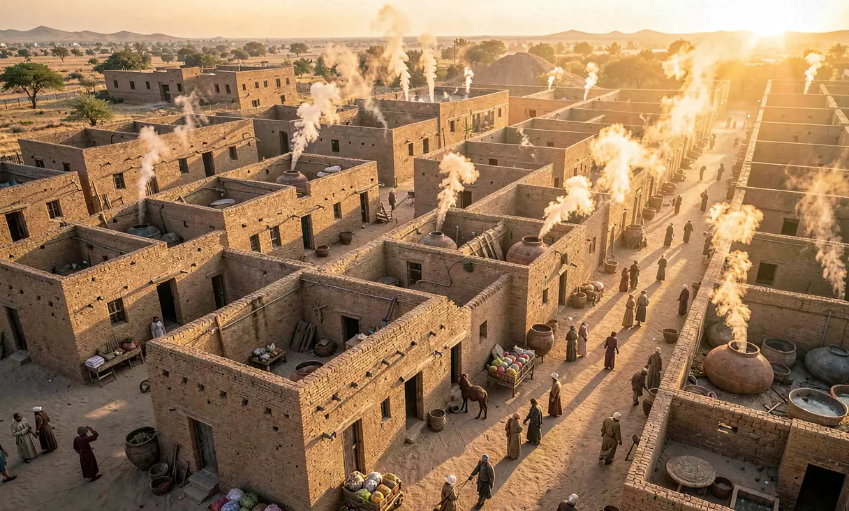 CivilizationUrbanization of Harappa and Mohenjo-daroc. 2600 BCE · Harappa and Mohenjo-daro, Indus Valley (modern Pakistan)The mature Harappan phase begins, establishing the first large-scale urban centers in South Asia with advanced grid planning.
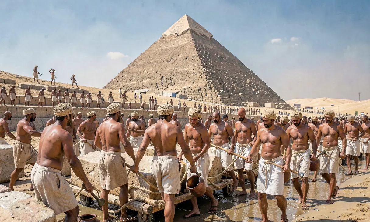 CivilizationGreat Pyramid of Giza Builtc. 2560 BCE · Giza, EgyptPharaoh Khufu commissions the largest ancient monument using millions of limestone blocks and advanced engineering.
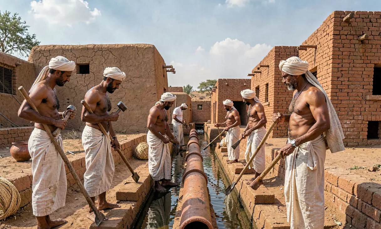 TechnologyAdvanced Irrigation Systems of the Indus Valley Civilizationc. 2600 BCE · Harappa, PakistanEngineers construct sophisticated canal networks and water reservoirs for urban agriculture.
 TechnologyIndustrialization of Sericulture in Ancient Chinac. 2600 BCE · Shaanxi Province, ChinaChinese artisans perfect the reeling and spinning of silk from silkworm cocoons.
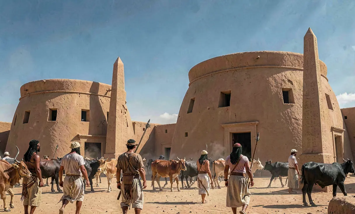 CivilizationRise of the Kingdom of Kush at Kermac. 2500 BCE · Kerma, SudanThe Kingdom of Kush emerges in Nubia as a powerful rival to Egypt with unique monumental architecture and trade networks.
Discussion
Loading…