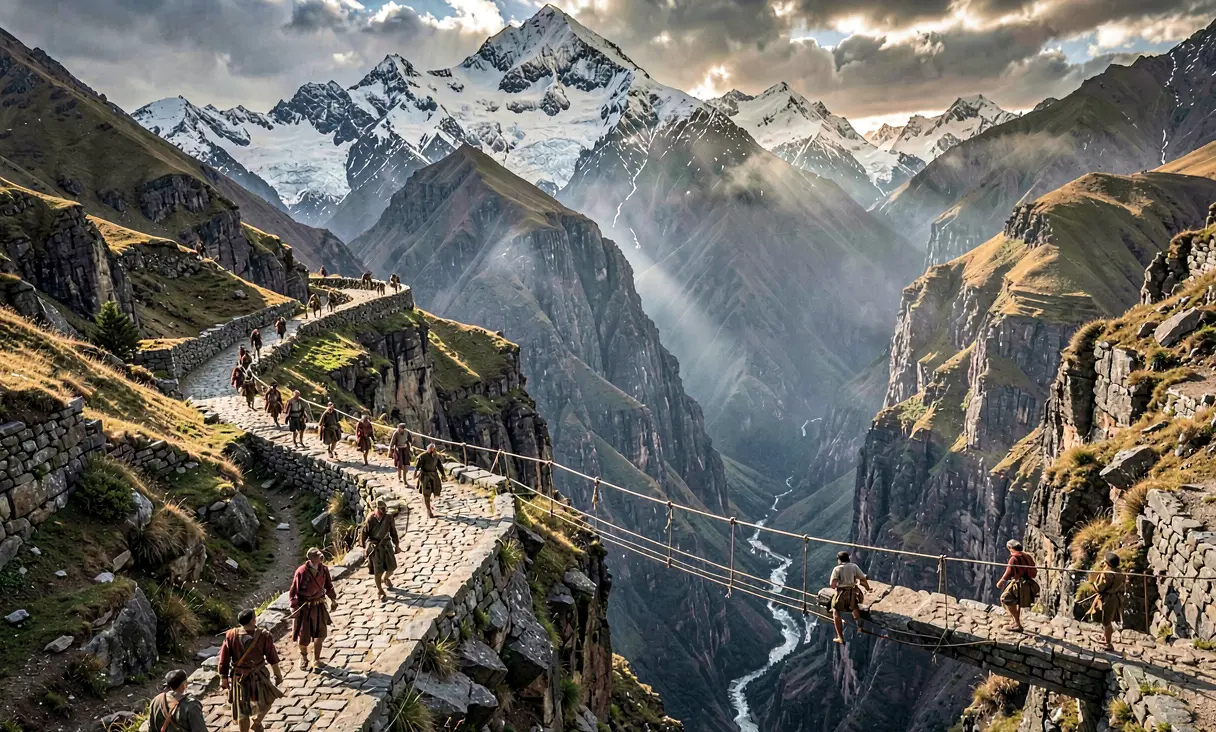
Completion of the Qhapaq Ñan Road Network
By 1500 CE, the Inca completed the Qhapaq Ñan, a 40,000-kilometer engineering marvel that unified the Andes through advanced road construction and a rapid messenger system, binding a vast empire toget
The Geopolitical Imperative of the Andes
By the late 15th century, the Inca Empire, or Tawantinsuyu, had expanded to encompass a staggering territory stretching from modern-day Colombia to central Chile. This vast domain, spanning diverse ecological zones from Pacific deserts to high-altitude puna and Amazonian foothills, presented an unprecedented administrative challenge. The rugged topography of the Andes, characterized by deep gorges and towering peaks exceeding 6,000 meters, rendered conventional travel nearly impossible without a unified infrastructure. The state's survival depended on its ability to project power, move armies rapidly, and integrate conquered peoples into a cohesive political entity, necessitating a technological solution that defied the limitations of the natural landscape.
The Culmination of the Qhapaq Ñan
Around 1500 CE, under the reigns of rulers such as Túpac Inca Yupanqui and his successor Wayna Qhapi, the construction of the Qhapaq Ñan reached its zenith. This was not a single road but a complex network exceeding 40,000 kilometers, linking the four suyus (regions) of the empire. The engineering feat involved carving stone-paved causeways through steep mountain passes, constructing retaining walls to prevent landslides, and spanning treacherous chasms with suspension bridges woven from ichu grass fibers. These bridges, anchored into cliff faces, could support the weight of llamas and human couriers, demonstrating a sophisticated understanding of tension and load distribution that rivaled contemporary European engineering.
Engineering Mastery and State Organization
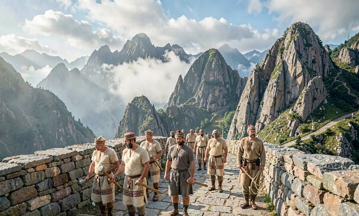
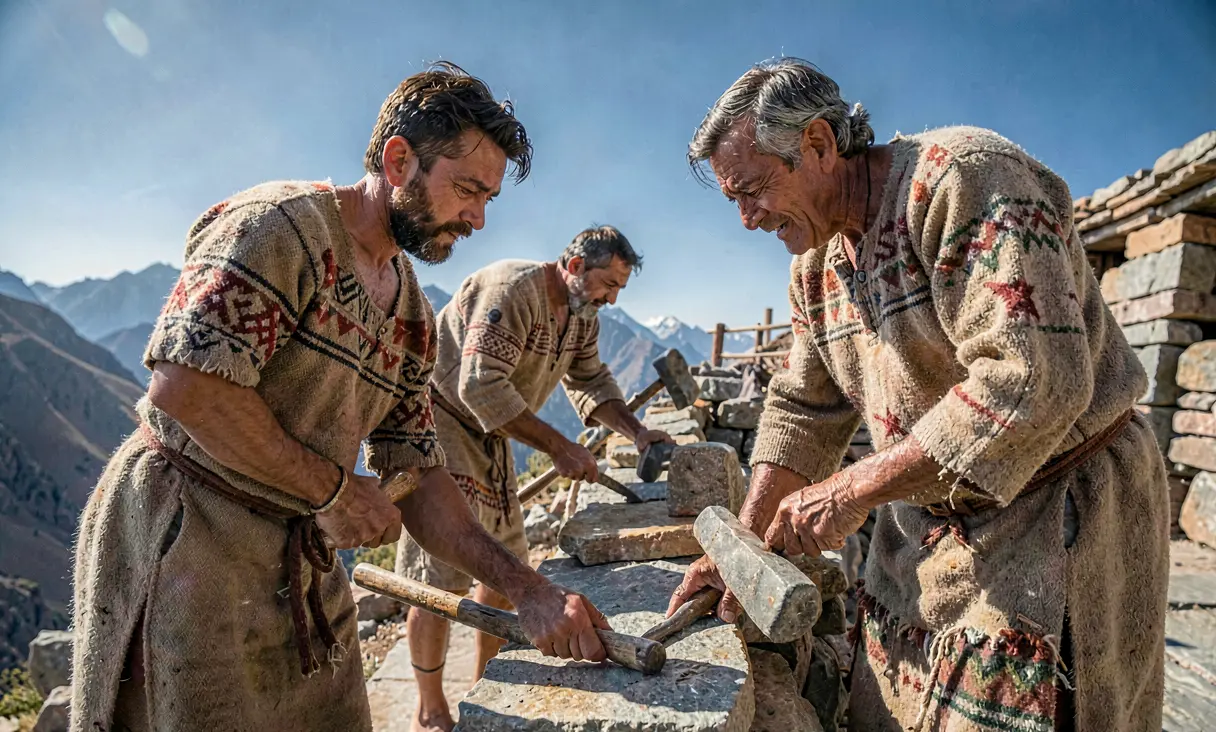
The realization of this network was made possible by the Inca state's unique labor tax system, known as mit'a. Millions of laborers were conscripted to quarry stone, clear paths, and construct waystations called tambos every 20 kilometers along the main routes. These tambos served as logistical hubs, storing food, textiles, and weapons, while providing shelter for the chasqui runners. The construction required precise surveying techniques; without the wheel or iron tools, Inca engineers utilized simple tools like stone hammers and bronze chisels to shape massive stones that fit together with such precision that mortar was often unnecessary. This mobilization of human capital transformed the physical geography of the Andes into a conduit for imperial control.
The Chasqui System and Administrative Velocity
The true genius of the Qhapaq Ñan lay in its integration with the chasqui relay system. Trained runners, positioned at intervals along the road, could transmit messages across the entire empire in as little as three days—a speed unmatched by any contemporary civilization. A quipu (knot-record) or a verbal message would be passed from one runner to the next without delay, allowing the Sapa Inca in Cusco to receive intelligence from the frontiers and issue decrees with startling efficiency. This communication network facilitated not only military coordination but also the redistribution of resources, ensuring that grain stored in highland storehouses could reach coastal populations during times of scarcity.
Integration of Diverse Ecological Zones
Beyond its military and administrative functions, the road network served as a vital artery for economic integration. It connected the arid coastal regions, rich in fish and cotton, with the highland agricultural heartlands producing potatoes and maize, and the eastern lowlands yielding coca and exotic feathers. This vertical archipelago allowed for the exchange of goods that were essential to Inca ritual and daily life, binding disparate cultures into a single economic unit. The roads enabled the movement of llama caravans carrying salt from the north to the south, effectively creating a unified market that reinforced the cultural hegemony of Cusco.
Legacy and Historical Significance
Although the Spanish conquest in 1532 rapidly dismantled the political structure of the Tawantinsuyu, the Qhapaq Ñan endured as a testament to pre-Columbian ingenuity. Many sections of the road form the basis of modern highways in Peru, Chile, Argentina, and Ecuador, while others remain preserved as archaeological sites. In 2014, UNESCO recognized the Qhapaq Ñan as a World Heritage Site, acknowledging it as one of the most ambitious engineering projects in human history. Its completion around 1500 CE represents a pinnacle of Andean civilization, demonstrating how a society without written language or wheeled vehicles could achieve a level of territorial integration that would not be replicated in the region for centuries.
The Qhapaq Ñan remains one of the greatest ancient transportation networks in human history.
Where it happened
Andes Mountains (Various), Peru/Chile — see it on the interactive map →
Explore related history
 TechnologyIndustrialization of Sericulture in Ancient Chinac. 2600 BCE · Shaanxi Province, ChinaChinese artisans perfect the reeling and spinning of silk from silkworm cocoons.
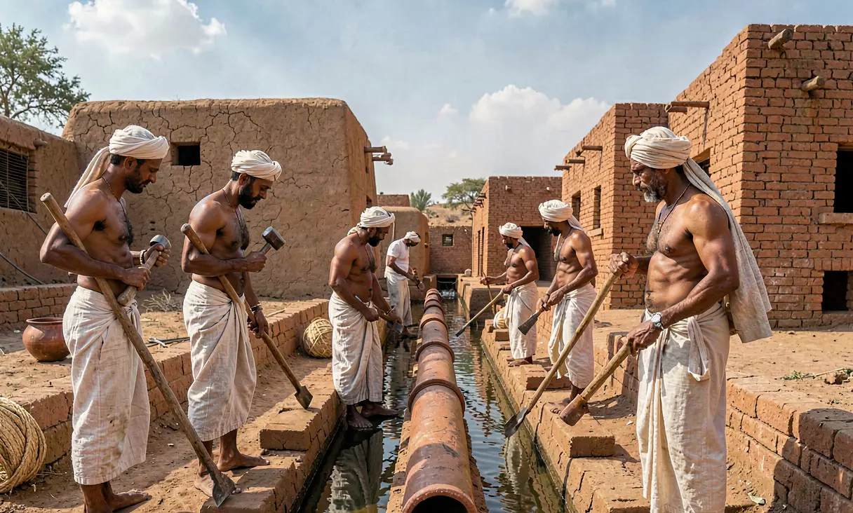 TechnologyAdvanced Irrigation Systems of the Indus Valley Civilizationc. 2600 BCE · Harappa, PakistanEngineers construct sophisticated canal networks and water reservoirs for urban agriculture.
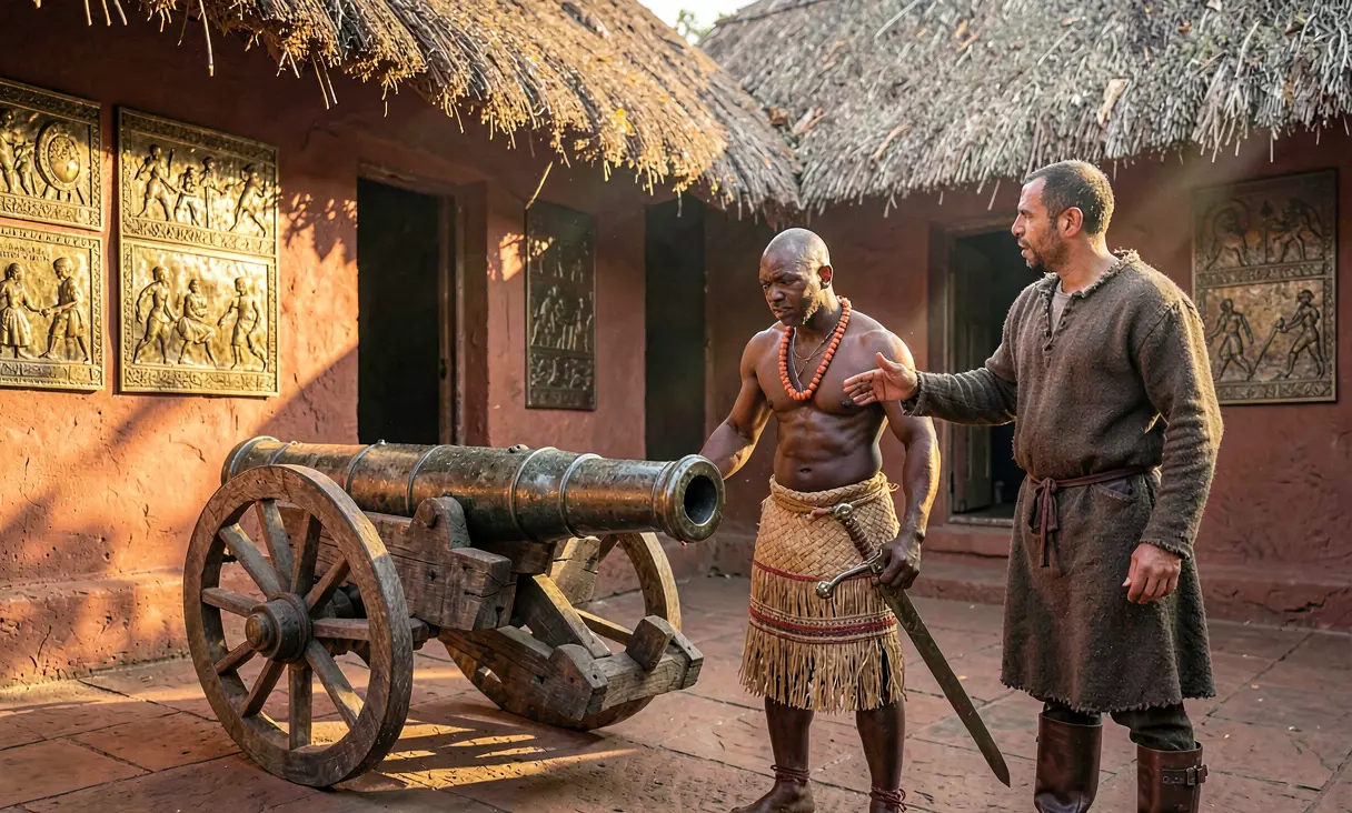 TechnologyBenin Acquires Cannon Technology from Portugalc. 1500 CE · Benin City, NigeriaThe Kingdom of Benin integrates Portuguese cannon technology into its military arsenals.
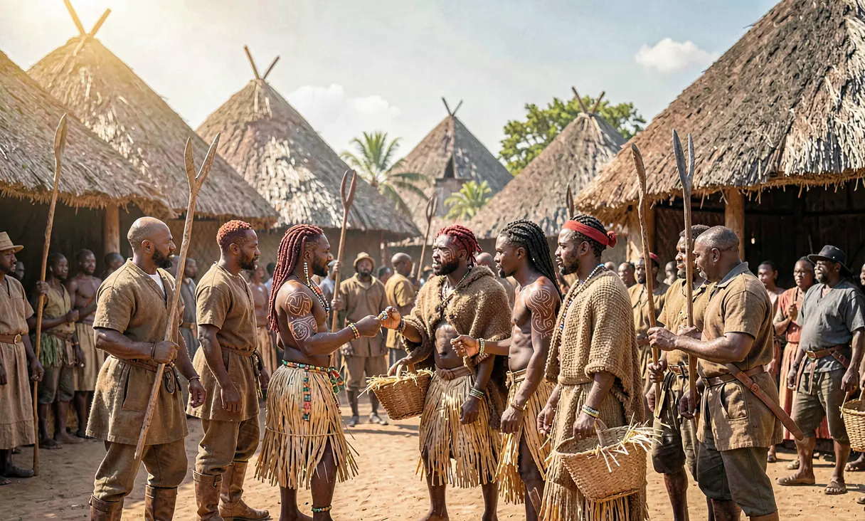 PoliticsKingdom of Kongo Engages in Large-Scale Slave Tradec. 1500 CE · Mbanza Kongo, AngolaThe Kingdom of Kongo begins exporting significant numbers of captives to Portuguese traders in exchange for goods.
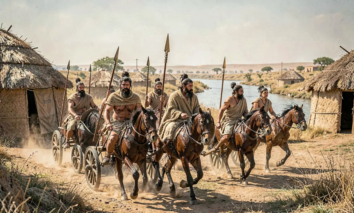 CivilizationArrival of Indo-Aryan Speakers in the Punjabc. 1500 BCE · Punjab Region (modern Pakistan/India)Indo-Aryan tribes migrate into the northwestern Indian subcontinent, introducing the Vedic Sanskrit language and horse culture.
 ExplorationLapita Expansion into the Bismarck Archipelagoc. 1500 BCE · Bismarck Archipelago, Papua New GuineaLapita people migrate from Island Melanesia into the Bismarck Archipelago, establishing distinct pottery traditions.
Discussion
Loading…